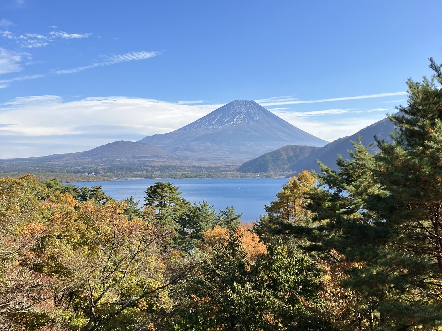
The Fuji Five Lakes (Fujigoko) sub-region is a distinctive lacustrine landscape in Yamanashi Prefecture, Japan. The Jōgan eruption of Mount Fuji, dated to ca AD 864, resulted in a 15 km lava flow down the north-western slope of the mountain. At its northern extent, the lava flow separated a previously contiguous lake, (Lake Senoumi), into three: Lakes Motosu, Shōji, and Sai; Lakes Kawaguchi and Yamanaka make up the other two of the region’s eponymous five. The disruption of the earlier hydrography created the present arrangement of lakes while submerging previously terrestrial landscapes in the process. The Five Lakes important components of the Fujisan World Heritage List Inscription as well as holding remarkable potential for understanding the archaeology of Japanese upland landscapes across all periods of human habitation. The principle aim of this research is to use a combination of geospatial analysis and marine geophysical survey is to produce a high-resolution and multi-scalar landscape study of the Fujigoko sub-region that unites the disparate strands of archaeological and historical evidence.